logo

Tag : obscure

Mercer, Mount

I loved this trip and highly recommend it for experienced scramblers looking for a rarely ascended mountain with stunning views and an engaging route. It’s not often that one can nab a 3rd ascent in 30 years via a major trail network and minimal bushwhacking in a 10-hour day. It’s even less common that the route is as fun and hands-on as this one, despite looking impossible from every angle.

Night Rider Peak

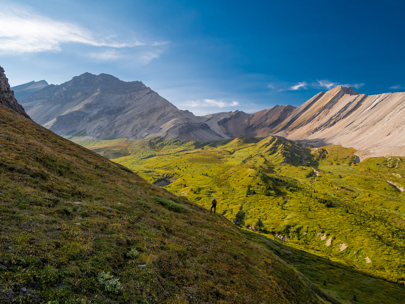
After a very long day the day before, we were up and at it again by 06:30 at our improvised camp along Job Creek on Sunday, the first day of September. I wasn’t sure I’d be feeling it this morning, but happily I most certainly was! We slowly got ready and abandoned camp, leaving the tents up to dry while we were gone. This would be our longest side trip at over 15 kms and an unknown route that we weren’t at all sure of. In the end, we couldn’t believe how easy the south ridge turned out to be, considering how it looked on the satellite maps. Views to Cloud Buster and Dark Storm over lush valleys and unnamed tarns were brilliant in the late summer sun and clear blue skies. Winds were light as we enjoyed ourselves immensely.

Obstruction Mountain

I can’t say enough good things about our ascent of Obstruction Mountain. After years and years of thinking about it, obsessing about it and planning it, we got perfect weather and conditions. There is almost no way to guarantee such a great set of circumstance on a large, remote peak, much less a route that was easy and straightforward. When it takes a minimum of 2 to 3 full days of backpacking and hiking just to access a peak, you never know what you’re going to get once you finally set steps on it. We got perfection, it’s as simple as that. As I always say – I’ve taken the bad luck on many other challenges, so I’ll happily take the good luck on this one!

Sam Rogers Peak (Horseshoe)

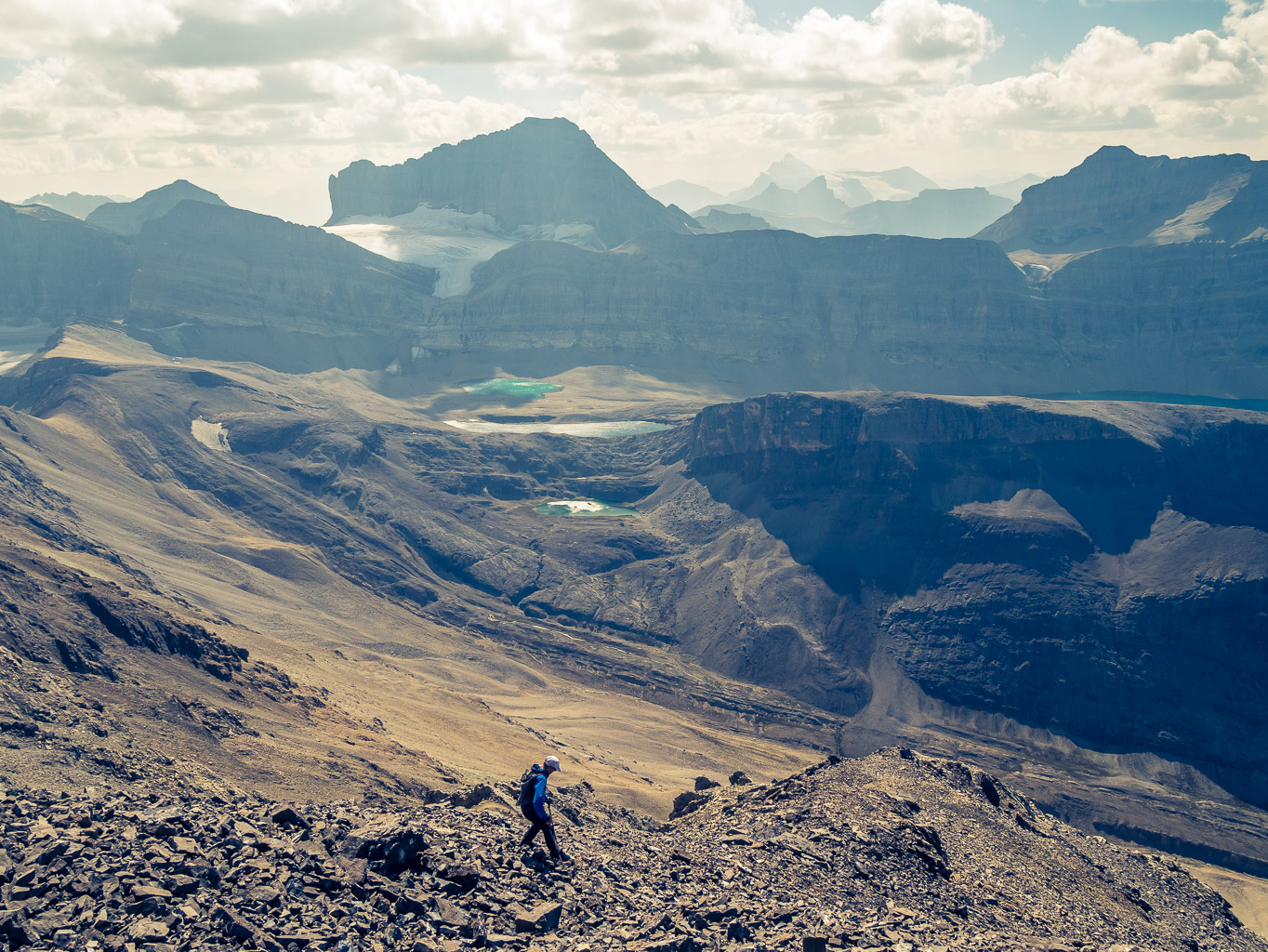
Although there is a far easier line to the summit of Horseshoe Mountain via SE ones from Lightning Lake (Tony and Gillean Daffern’s original ascent line in 1973), I didn’t mind taking a slightly harder one. Sure! I’d be talking a little different if the crux had turned me around, but sometimes completing a planned route with unknown challenges is more rewarding than taking the easiest line. In my case the easier line simply wasn’t part of the itinerary – getting to Lightning Lake is way off our hiking route. The views from Sam Rogers were some of the best of the trip and the only ones that clearly showed Samson, Leah and the steep headwall plunging to an unnamed lake above Job Lake.

Ribbon Peak (South Horseshoe)

I have zero regrets about ascending Ribbon Peak from Red Pass, even though it would have been nice to have more beta on this moderately complex route beforehand. For a much easier ascent on scree and rubble with no downclimbs, take the same line as Alan and Alistair did via north and west slopes from Samson Lake.

Quixote Peak

I highly recommend this lofty, well situated and scenic ascent for anyone in the upper Coral Creek area with some time and energy to spare. There is really no scrambling on this mountain, just a long, steep hike for some million dollar views.

Allenby, Mount (True & False)

Mount Allenby is a trip I won’t soon be forgetting. I can’t recommend the south ridge as a scramble due to its disturbingly loose and exposed nature. I’ve noticed a trend on Social Media where folks with limited technical climbing experience are confidently giving 5th class ratings to their scramble routes. I won’t do that, but I’ve been up enough mountains to know what’s safe and what isn’t. Mount Allenby’s south ridge is not a safe place to be, no matter what technical rating you might attach to it. When holds are falling into the abyss underneath you and moves are made downwards to avoid pulling critical holds off the mountain as you ascend it, this is cannot be called safe terrain. I certainly used some of my luck coins on this trip. The hike up Bryant Creek and into the upper Mercer Creek valley with its larch forest was beautiful and exactly what I needed out of one of my last trips of the year before snow starts falling in the Rockies.

Profound Peak (Simpson) & Mount Osgood

Despite tagging both summits, Profound and Osgood will not go down as my favorite ascents of 2023, simply due to my silly routefinding mistakes on both peaks. Some days are like that – I just wasn’t on top of my game for whatever reason.

Mount Antevs (Anteus)

Mount Antevs was a lovely afternoon ascent with no pressure to go quick under a perfect late summer sky. I was expecting it to be the easiest peak of the weekend based on Rick’s assessment and it was.

Abstruse Peak (Mount Perren)

Abstruse Peak is like many other big, remote peaks I’ve done this year. The ascent was almost anticlimactic compared to the getting to the base of it but the views and the remoteness more than make up for the simple route to its lofty summit. At only 47 meters shy of the magical 3353m mark it is the highest peak I’ve ascended in quite a while.

In the Footsteps of Sergeant Kowalski (Laughing Bears Creek)

Laughing Bears Creek will always stand out in my mind as a quintessential Rockies backcountry adventure. I’ve been planning and dreaming of it for so many years, it had the potential to disappoint but instead it exceeded even my best ideas of what it might be. It will stand out as one of my favorite trips of all time and certainly a highlight of 2023.

Goodair, Mount (Snort, Roaring Ridge)

Standing on yet another remote peak with yet another likely 3rd ascent also felt pretty darn good. In a time where folks like Devan are doing routes that I can only dream of and tagging 10 peaks in 4 days (!!!!) to our 2 in 3, I realize that the era of 2nd, 3rd and 4th recorded ascents is very quickly ending. And I don’t mind – there always has to be an end to things. The next generation always brings new light and new challenges to old ideas, making what we did on Smoky and Goodair look like nothing more than a simple afternoon stroll in the park – which I guess it literally was in the end. Folks like Rick Collier, Glen Boles, William Putnam, John Martin, Jason Thompson, Graeme Pole, Tony and Gil Daffern and Alistair des Moulins and so many others got to enjoy the last of the 1st and 2nd recorded ascents of many of the Rockies front range peaks and folks like Phil and myself got to follow in their footsteps 20 years later. Now the ascents will start accumulating faster and faster with more beta, more lightweight gear, more fitness and more interest from a younger, more energetic and bolder generation of explorers. And I say to them, “enjoy and have at it”!

Smoky Mountain (Roaring Creek)

Smoky Mountain is likely one of the easiest peaks I’ve ascended in the area other than maybe Whimper Peak, which felt much bigger since we didn’t camp 350 meters below its summit the night before. What makes Smoky Mountain such a rare gem is simply the process of getting onto its easy south rubble ledge. In our case that involved a 48 kilometer, 11.5 hour approach with over 1200 meters of height gain with overnight packs. Once you’ve managed to work through that ‘little’ problem, there are no more difficulties other than a few hundred additional vertical meters and some loose rubble to get to the top. Easy peasy. 

Trekking along McConnell & Roaring Creeks

This trip lived up to everything I thought it would be. A fantastic backcountry adventure in pristine landscapes, exploring some of the last remaining untouched and largely untraveled wilderness along massive Cambrian Cliffs of the Alberta Rockies along the source streams of two of Banff National Park’s major drainages – the Red Deer River (McConnell Creek) and the Clearwater River (Roaring Creek). Thanks as usual to Dr. Phil, the trip planning guru and to me the routefinding drill master dragging us up peaks along the way. As long as our bodies and life allows, I’m sure we’ll continue to stumble and bumble our way into new corners (for us) of the Rockies somewhere or another – as rare as those corners seem to be getting.

Puma Peak (Palliser)

It was incredible to exit that huge south face of Puma Peak, knowing the route not only went – but went very smoothly. We relished in the success of our day, slowly wandering back to the dried up lake and making our way down alpine meadows to the upper stream. As I rode the familiar 14 kilometers back to the Lake Minnewanka parkway, I meditated on how darn lucky I am to be free to do whatever adventure motivates me, pretty much whenever I can. Life goes by very fast and I am grateful for the Rockies and the sense of exploration they still offer in a modern world with very little true “unknowns” still there. Now I just have to hope my poor body can keep up with my spreadsheet as I continue to seek these adventures out. 😉

Cuthead Peak

Cuthead Peak was a very good outing for many reasons. The campout with a cheery fire and good company, getting out on another obscure peak with Phil and fun, challenging scrambling on the summit block. There are very few reasons why any hardcore Rockies scrambler / backpacker shouldn’t have this one on their list.

Struan, Wurzburg & Andover (Beauty Creek)

On July 27, 1893 while scouting a new pass to the Athabasca, Rockies explorer Arthur P. Coleman and his brother Lucius, joined by Louis B. Stewart ascended an unnamed peak over 3100 meters rising over the headwaters of Beauty Creek. If one of Canada’s earliest and most prolific Rockies explorer – who traversed these mountains before trains made the whole thing much easier – says a peak as one of the “finest panoramas in the Rockies”, you should probably sit up and take notice. The problem is – what peak is Coleman referring to exactly and how the heck could I get there?! Good questions. I have a source that claims this peak is sitting at GR870–936 and bivouac labels it as “Andover Peak”, named after the town in Massachusetts where another early Rockies explorer, Walter Wilcox received his education. Reading Coleman’s description of the ascent from a camp near the headwaters of the Brazeau River I can’t say for 100% that this is the peak he and his party ascended on that snowy July in 1893 but after standing on its summit I can assure you that it does, indeed, sport one heckuva fine panorama! But of course, I’m once again getting way ahead of myself.

Fuhrer, Mount

Wietse and I had originally planned to ascend Mount Heinrich as part of a two day exploratory excursion up the Siffleur River trail. I use the word “exploratory” intentionally – there was very little beta available to us on this route and almost none that was recent. It seems like most folks avoid this end of the Siffleur Wilderness Area and the day before, while approaching Siffleur Mountain, we found out why! I knew that Heinrich was likely an easy ascent from the Siffleur River and only knew of one recent ascent from the Escarpment River by Sara McLean in 2021. As we ascended the easy and vast south slopes of Siffleur Mountain I kept looking back across the Siffleur River valley to a slightly more dramatic and higher looking peak just south of Heinrich. Mount Fuhrer sounds a bit ominous at first but it’s named for Heinrich’s brother Hans and their family name. I’m not sure why “Mount Hans” wasn’t an option?

Siffleur Mountain

I don’t like to admit it, but there’s a unique thrill to opening a Rick Collier summit register 20 or 30 years after he last closed and placed it in a rock cairn in the middle of nowhere. I’ve had my fair share of these rare occurrences, but I’ve also narrowly missed out on more than a few of them over the years. You know you’ve done something reasonably difficult when nobody else has bothered doing it for 3 decades! I’ve written about the end of true discovery in the Rockies before, but opening a summit register that hasn’t been seen for 30 years makes me think that not everyone has done everything just yet. It’s silly to feel like this in 2023 but sometimes I think I was born 150 years too late. Moment like these fulfill me in ways my desk job never, ever will. 

Elch Peak (Stud, GR851-335)

Descending the braided horse trails down the Ya Ha Tinda meadows in late afternoon lighting brought back many pleasant memories from this special area of the front range Rockies. Every time I think I’m almost finished with it, the landscape drags me back out! I don’t mind. There are certainly worse places to return to and worse memories than these stored in my old noggin. As I followed a horse wagon back along an incredibly dusty Tinda road my thoughts turned to how much more popular this area is now than it was when I first started visiting it almost a decade ago in November 2014. It hasn’t gotten less beautiful as a result – thankfully – but finding a summit as quiet as Elch has certainly gotten harder. I highly recommend combining Elch and HH89 with a camp in upper Scalp Creek. The only downside of this idea is that you will not get to walk the shores of Forbidden Lake like I did, unless you do a much longer loop back along Forbidden and Skeleton Creek to exit.

Screed Peak (GR796–032)

I highly recommend this peak for anyone who’s traveling the area and has a half day on their hands. I bet the views are grand enough to even justify it as a stand alone day trip – but I don’t know for sure.

“HH89” (Totem, GR831-380) Peak

The first thing I noticed while standing on the 2904m summit of the remote and rarely ascended Forbidden Peak was its loftier neighbor lying immediately to the SE. What was this larger unnamed peak and could I ascend it? For some reason the idea obsessed me and for the next week I did some research to find out more. Bivouac gives it a very technical and drab sounding moniker, “HH89” or it could be known by its coordinates, “GR831380”. It turns out someone else named it too, but I wouldn’t find that out until later. I thought the Bivouac name actually suited this peak just perfectly. It’s obscure and meaningless except to the half-dozen or so folks who might know about it.

Forbidden Peak

I couldn’t believe I was standing on top of Forbidden Peak – only 7 hours from the truck! Phil’s ascent line couldn’t have worked better, making this peak surprisingly accessible considering how darn remote it is. Thx again Phil! I owe you man.

Poltergeist Peak

What a day! Thanks to Jay and Sara for putting up with a “less-than-100-percent” me and thanks to Jay for toughing it out of a nasty little situation in the river. Many folks would have called it a day at that point, but that’s not the way JW is wired. This was a great suggestion for a dry(ish) winter ascent and I’m glad that I was part of it.

Whiskey Papa & Minnow Peak

My feet were feeling pretty chewed up as we completed the final hour of fast hiking to the parking lot. Despite more discomfort than I’m used to, from the heat, my feet and my tired mind I find myself reflecting very fondly on this trip only days later while writing this report. Things are never guaranteed to go perfectly in the hills and some trips simply hurt more than others for a variety of reasons. The trick, I find, is to push through the pain and try to enjoy them as much as possible. Now that the pain is receding and the memories of discomfort are fading I realize that this trip was amazing and I want to go back.