Summit Elevation (m): 2640
Elevation Gain (m): 600
Trip Date: May 10 2013
Round Trip Time (hr): 5
Total Trip Distance (km): 8
Quick ‘n Dirty Rating: Class 2 – you fall, you sprain something
Difficulty Notes: In winter there is avalanche danger on this slope. Otherwise it’s an easy hike on trail.
Technical Rating: OT3; YDS (Hiking)
GPS Track: Gaia
Map: Google Maps
Admittedly, after standing on the summits of 3 11,000ers only a few days previous, “Parker Ridge” does seem a bit lame. But there’s a reason for this objective. The original intent was to climb Mount Athabasca via the AA col on Friday, May 10 2013 with Wietse, Scott, Kelly and myself. We planned an overnight stay at the Rampart Creek Hostel and met there on Thursday evening. Patrick Delaney, a guide with Yamnuska Mountain Adventures was also at the hostel with a client and we spent some time chatting. Patrick was concerned about the “big melt” that was going on and cautioned our group to be super-careful. We took his advice to heart and decided to get up at 02:30 and try to take advantage of colder morning temps to meet our objective safely. After getting up and driving to the climber’s parking lot we realized that Athabasca wasn’t going to happen for us this particular day. It was WAY too warm. There was no overnight freeze at all. (It took me another 2 years to finally ascend Athabasca in perfect conditions, proving that sometimes the most valuable thing to have in mountain climbing is patience.) Plan B…

But what to do now? We basically hung around and hummed and hawed for about 2 hours until deciding to give Hilda Peak a shot. Another solo climber at the hostel had done an ascent the day before and said with good snow, it wasn’t too bad (difficult scrambling). Key word? “Good snow”! We got to the Hilda Ridge parking lot and started out. The other 3 guys were on foot and I had my snowshoes on. They were screwed right from the start – Scott was sinking in knee to waist deep on a punchy crust. Plan C?

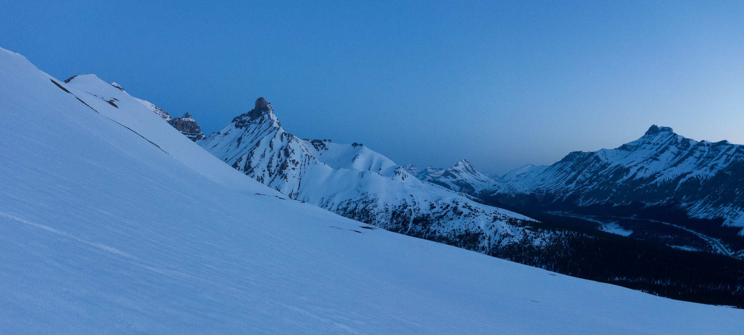
Scott, Wietse and Kelly decided to go rock climbing in Banff and I decided to go up to the high point on Parker Ridge and have a nice solo day out. It was still only around 05:30 as I worked my way up the ridge on a reasonably good snow crust (the ‘shoes helped immensely with this). The birds were chirping and it felt like spring. As the sun came up in the east I made my way up to the high point on Parker Ridge’s far west end. There was some steep terrain but the snow was bomber so I wasn’t too concerned. The high point on Parker Ridge is a good 600+ meters elevation gain to this point and brought me almost to the same height as Big Bend Peak and Mount Saskatchewan Junior across the Saskatchewan River Valley.

After completing the traverse of the entire ridge it was time to backtrack to the parking lot. I descended easy slopes to the Parker Ridge parking lot and then proceeded the extra 1km back to my truck. The day was still very young and I didn’t want to ‘waste’ such a gorgeous day or such a long drive so I decided to try “Crystal Ridge” by Bow Lake next. The only issue? I didn’t have a route description and only a very vague idea where exactly it actually was…


